Get in touch
ZX Lidars
Want to know more?

Get in touch to find out more about our Lidars or services.


+44 (0) 1531 651 000
The Old Barns Fairoaks Farm Hollybush Ledbury HR8 1EU
Back to top
 
25/01/19 -

ZX Lidars achieves world-first wind Lidar measurements from a drone

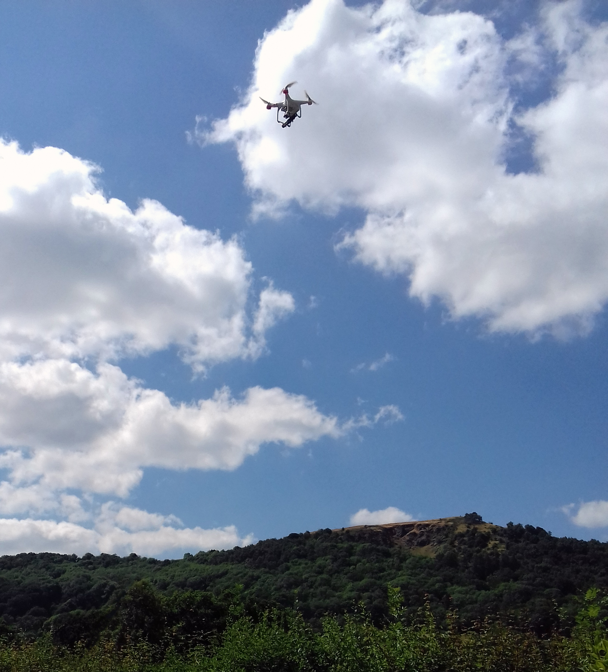
Leading wind Lidar developer, ZX Lidars, has successfully demonstrated the use of Drone Wind Lidar to accurately measure the wind in what is believed to be a world-first

World-first Drone Wind Lidar by ZX Lidars

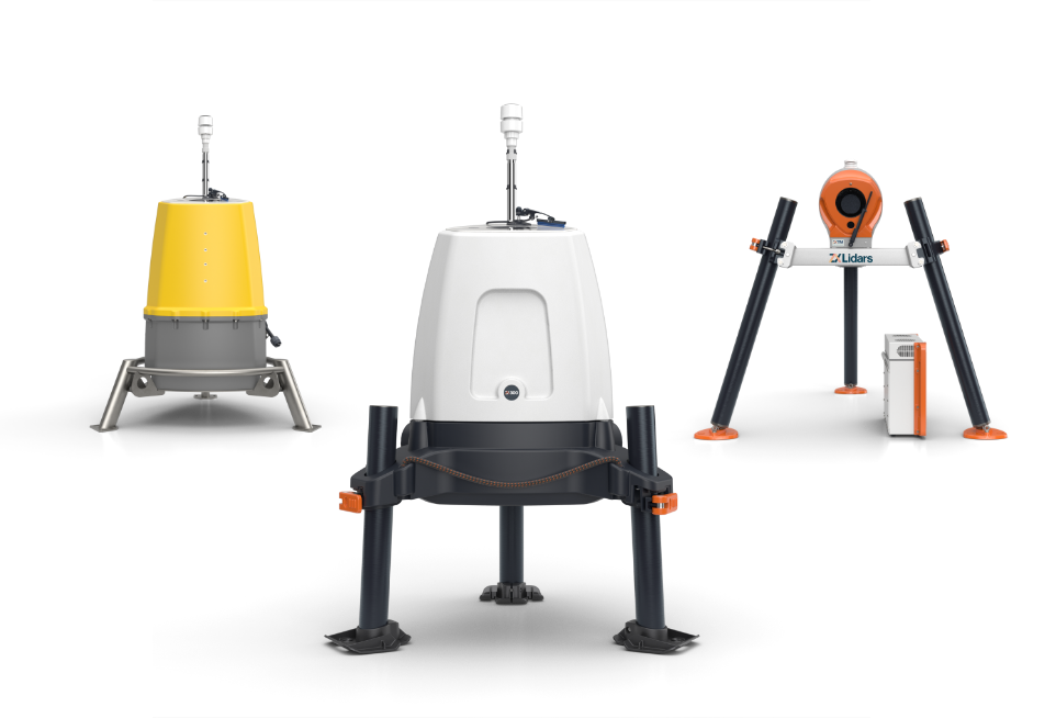
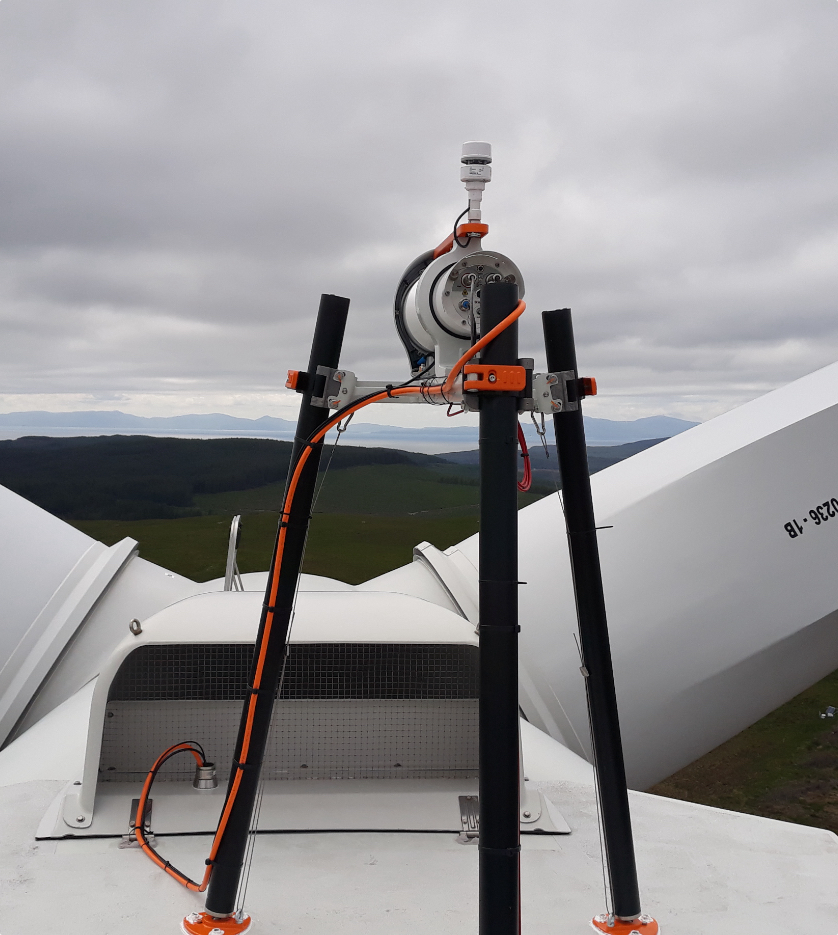
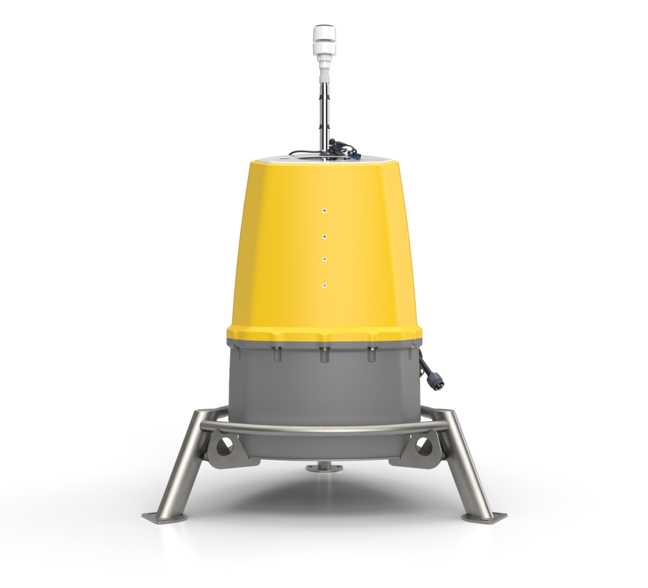
ZX Lidars provides vertical and horizontal profiling wind Lidars to accurately measure wind conditions remotely and above or ahead of their installed position. These accurate, independent wind measurements are a cornerstone in the development, construction and operation of wind farms globally.

The company has now achieved accurate wind Lidar measurements from a commercially-available drone (an Unmanned Aerial Vehicle) for demonstration purposes, and trialed the system successfully during summer 2018 with excellent data rates and sensitivity.

“ZX Lidars is a pioneer of wind Lidar technology – we were the first on turbines, the first offshore… now we’re the first to fly on a small drone” announced ZX Lidars’ Managing Director, Ian Locker. “This and other trials conducted since 2015 only stand to further confirm that our core technology is accurate, reliable and robust lending itself perfectly to a range of applications such as Drone Wind Lidar.”

Dr Michael Harris, Director of Science at ZX Lidars, has pioneered wind Lidar for the wind energy industry for nearly 20 years, and has been the driving force behind this latest innovation.

A number of ZX Lidar systems are available for trialing in this or similar applications – enquiries should be directed towards Alex Woodward – alex@zxlidars.com

2018 Drone Wind Lidar trial results will be presented at the Wind Energy Science Conference (WESC) 2019.

Find The Right Lidar for you

We can help you find the right Lidar for your needs by answering a few questions

Find The Right Lidar for you

What do you need wind data for?

Image Caption 1

Site Assessment

Image Caption 2

Operational Measurements

Image Caption 3

Other

Find The Right Lidar for you

Where do you need to gather data?

Offshore

Onshore

Both onshore and offshore

Find The Right Lidar for you

How long do you need this data for?

<1

PERFECT FOR:

Small scale projects

Temporary events

Less than 1 year

1-2

PERFECT FOR:

Small scale projects

Temporary events

1-2 years

3+

PERFECT FOR:

Long term projects

Operational measurements

3 years +

5

Our Recommendation
ZX Lidars - ZX Measurement Services

Learn more
Our Recommendation
ZX Lidars - ZXTM

Validate your wind turbine performance and reach financial close with nacelle based Lidar Power Performance Testing. Optimise asset performance with operational power curve and yaw measurements. Develop wind farm Lidar control strategies with wake steering and load control.

Power Performance Measurements and Testing to IEC standards including IEC 61400-50-3:2022

Accepted by all major turbine OEMs

Unique measurements of wakes and complex flow

True wind shear and wind veer measurements across the whole rotor

Learn more
Our Recommendation
ZX Lidars - ZX300M

Reduce your offshore wind farm project and financial uncertainty by measuring wind characteristics higher than a met mast and by mobilising measurements across a whole site with wind Lidar. Integrated in to all major Floating Buoy platforms.

Wind resource assessment and measurements offshore

Responsible for 95%+ of all new offshore wind measurements globally

£150bn of finance invested in clean energy from ZX 300M data

10-300m range - the widest range available of any Lidar

Learn more
Our Recommendation
ZX Lidars - ZX300

Reduce your onshore wind project and financial uncertainty by measuring wind characteristics higher than a met mast and by mobilising measurements across a whole site with wind Lidar. Be flexible within your planning applications by using a low visual impact, low height device.

Wind resource assessment and measurements onshore

Bankable standalone wind data in simple and complex terrain

Extreme environments, proven operation for 10 years

10-300m range - the widest range available of any Lidar

Learn more

Thank you for your interest in our products.

It looks like we need more information to be able to help you.

If you click on the button below and leave your information, one of our support team will get in touch to help you find the right product.

This site uses cookies.
ConfigureHide Options
 
Read our privacy policy

This site uses cookies for marketing, personalisation, and analysis purposes. You can opt out of this at any time or view our full privacy policy for more information.