Get in touch
ZX Lidars
Want to know more?

Get in touch to find out more about our Lidars or services.


+44 (0) 1531 651 000
The Old Barns Fairoaks Farm Hollybush Ledbury HR8 1EU
Back to top
 
17/08/15 -

European Funding brings ZephIR 300 wind lidar to Malta

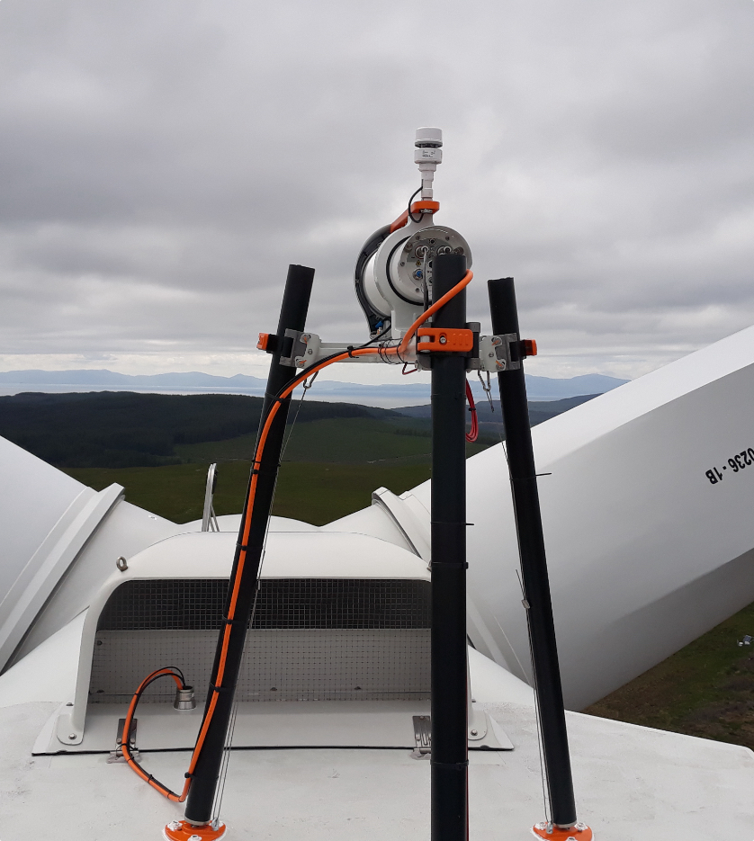
The University of Malta has successfully brought wind lidar technology to the country, with funding from an EU Project. The industry’s single most validated wind lidar, ZephIR 300, will be utilised by the University to assist with Degree program course delivery and further research within the academic communities based at the University.

ZephIR Malta

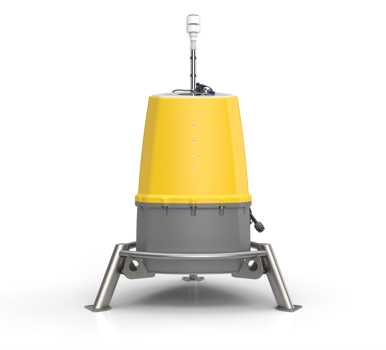
Figure 1: ZephIR 300 installed with University of Malta, in Malta

Furthermore, the high-resolution 50Hz wind data will aid in the prospecting of coastal wind resources.

The University of Malta looks for the highest quality in all instrumentation in terms of accuracy, reliability and also technical support. The ZephIR 300 has been assessed and accepted to deliver against this strict criteria. Following a successful tendering process, and with the support of EU Funding, the University of Malta can now bring wind lidar to Malta for research opportunities that will benefit the Island over. Further, the introduction of wind lidar to Malta ensures engineers and scientists of tomorrow’s world will start their adventure with ZephIR 300 wind lidar technology as the core.

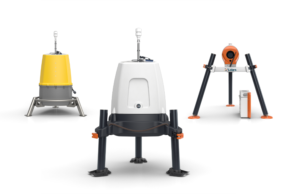
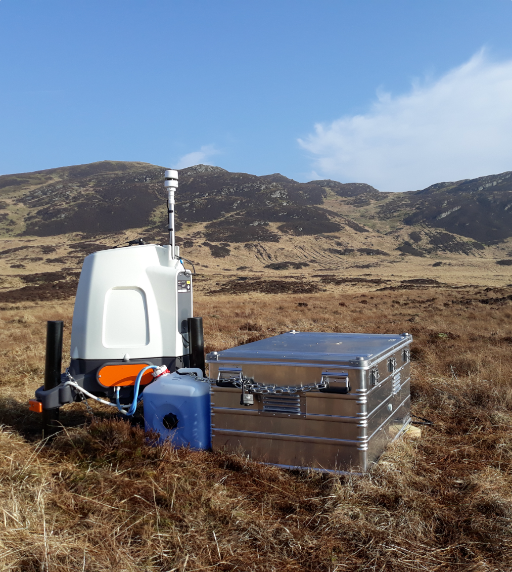
ZephIR 300, a continuous wave (CW) wind lidar, provides high resolution measurements at an unmatched data rate of 50Hz, with up to 50 points per second measured in the free space targeted by the sensor, and chosen by the user, anywhere from 10 metres (33 feet) up to 200 metres (656 feet).This type of CW wind lidar gives very accurate measurements of the wind speed, direction and other wind characteristics including Turbulence Intensity (TI).ZephIR 300 is also the single most validated wind lidar at a consistent IEC compliant met mast site.

For more information please visit:www.zephirlidar.com

Find The Right Lidar for you

We can help you find the right Lidar for your needs by answering a few questions

Find The Right Lidar for you

What do you need wind data for?

Image Caption 1

Site Assessment

Image Caption 2

Operational Measurements

Image Caption 3

Other

Find The Right Lidar for you

Where do you need to gather data?

Offshore

Onshore

Both onshore and offshore

Find The Right Lidar for you

How long do you need this data for?

<1

PERFECT FOR:

Small scale projects

Temporary events

Less than 1 year

1-2

PERFECT FOR:

Small scale projects

Temporary events

1-2 years

3+

PERFECT FOR:

Long term projects

Operational measurements

3 years +

5

Our Recommendation
ZX Lidars - ZX Measurement Services

Learn more
Our Recommendation
ZX Lidars - ZXTM

Validate your wind turbine performance and reach financial close with nacelle based Lidar Power Performance Testing. Optimise asset performance with operational power curve and yaw measurements. Develop wind farm Lidar control strategies with wake steering and load control.

Power Performance Measurements and Testing to IEC standards including IEC 61400-50-3:2022

Accepted by all major turbine OEMs

Unique measurements of wakes and complex flow

True wind shear and wind veer measurements across the whole rotor

Learn more
Our Recommendation
ZX Lidars - ZX300M

Reduce your offshore wind farm project and financial uncertainty by measuring wind characteristics higher than a met mast and by mobilising measurements across a whole site with wind Lidar. Integrated in to all major Floating Buoy platforms.

Wind resource assessment and measurements offshore

Responsible for 95%+ of all new offshore wind measurements globally

£150bn of finance invested in clean energy from ZX 300M data

10-300m range - the widest range available of any Lidar

Learn more
Our Recommendation
ZX Lidars - ZX300

Reduce your onshore wind project and financial uncertainty by measuring wind characteristics higher than a met mast and by mobilising measurements across a whole site with wind Lidar. Be flexible within your planning applications by using a low visual impact, low height device.

Wind resource assessment and measurements onshore

Bankable standalone wind data in simple and complex terrain

Extreme environments, proven operation for 10 years

10-300m range - the widest range available of any Lidar

Learn more

Thank you for your interest in our products.

It looks like we need more information to be able to help you.

If you click on the button below and leave your information, one of our support team will get in touch to help you find the right product.

This site uses cookies.
ConfigureHide Options
 
Read our privacy policy

This site uses cookies for marketing, personalisation, and analysis purposes. You can opt out of this at any time or view our full privacy policy for more information.