


Publications
Below is a selection of our brochures, technical papers and reports for your convenience.
Get in touch to find out more about our Lidars or services.
Below is a selection of our brochures, technical papers and reports for your convenience.
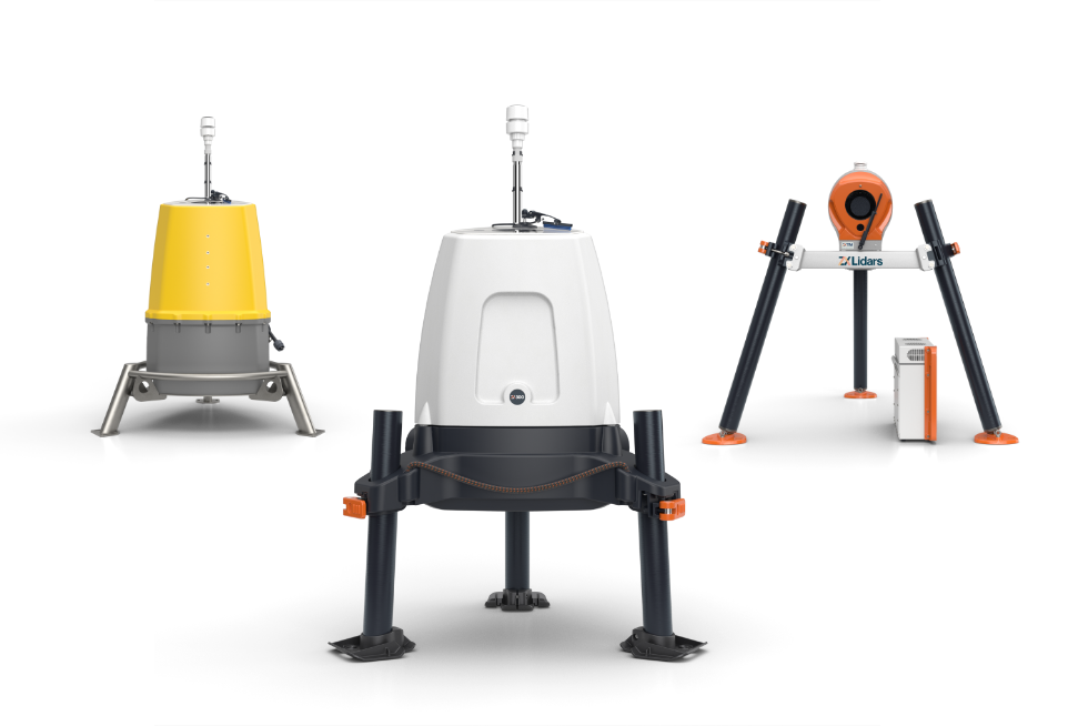


<1
PERFECT FOR:
Small scale projects
Temporary events
1-2
PERFECT FOR:
Small scale projects
Temporary events
3+
PERFECT FOR:
Long term projects
Operational measurements
5


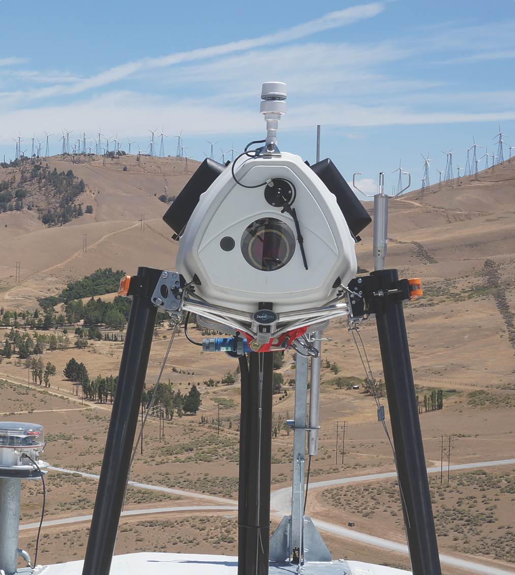
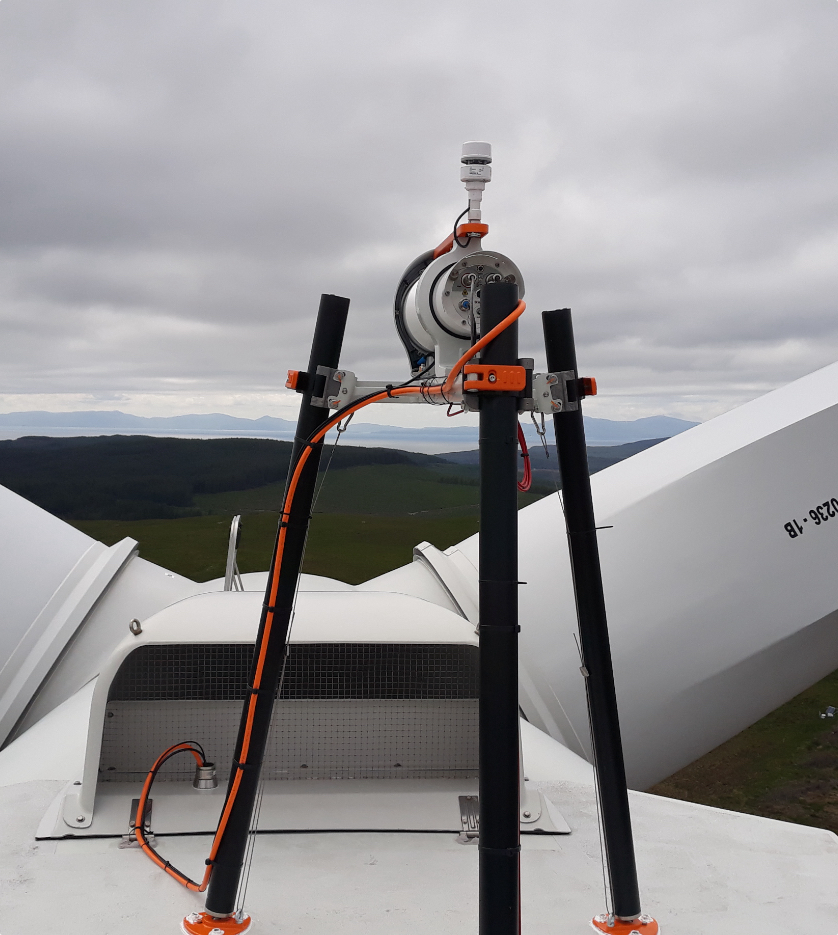
Validate your wind turbine performance and reach financial close with nacelle based Lidar Power Performance Testing. Optimise asset performance with operational power curve and yaw measurements. Develop wind farm Lidar control strategies with wake steering and load control.
Power Performance Measurements and Testing to IEC standards including IEC 61400-50-3:2022
Accepted by all major turbine OEMs
Unique measurements of wakes and complex flow
True wind shear and wind veer measurements across the whole rotor
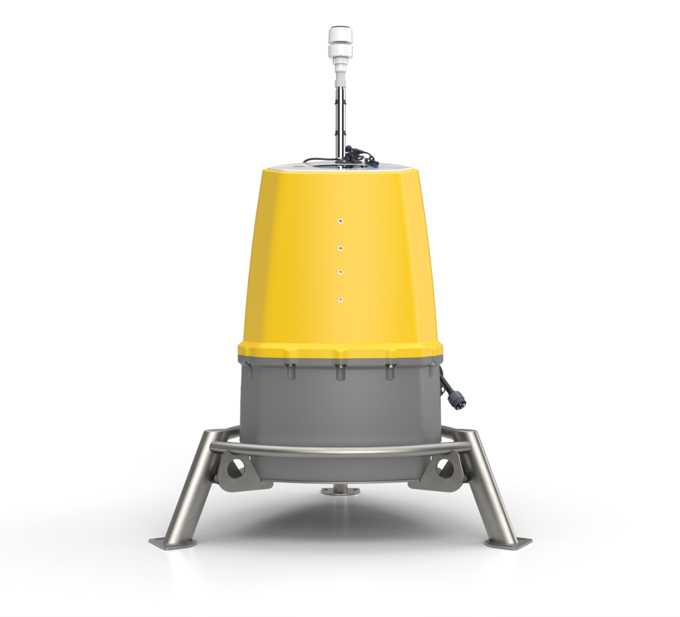
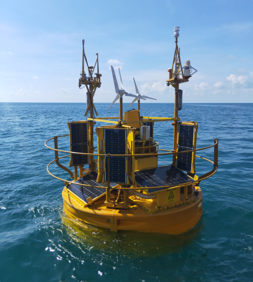
Reduce your offshore wind farm project and financial uncertainty by measuring wind characteristics higher than a met mast and by mobilising measurements across a whole site with wind Lidar. Integrated in to all major Floating Buoy platforms.
Wind resource assessment and measurements offshore
Responsible for 95%+ of all new offshore wind measurements globally
£150bn of finance invested in clean energy from ZX 300M data
10-300m range - the widest range available of any Lidar

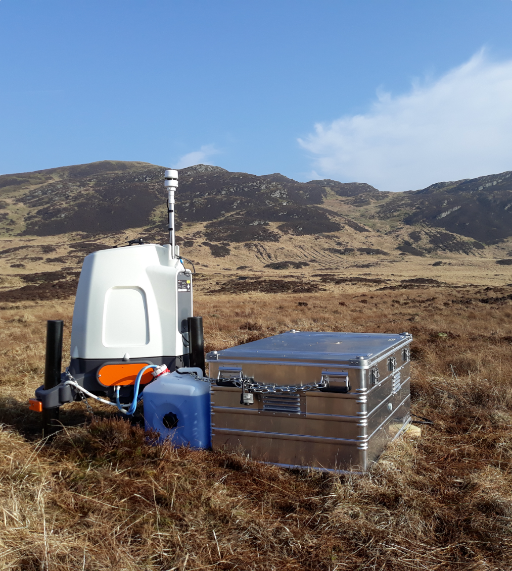
An evolution of the world’s most validated onshore, finance-grade, IEC-compliant, vertical-profiling wind Lidar for onshore wind development and operational projects.
Industry-leading 21-200m IEC Classification
Enhanced accuracy and availability up to 300m
Cup-Equivalent Turbulence Intensity measurements
Ultra-low power down to -25°C
It looks like we need more information to be able to help you.
If you click on the button below and leave your information, one of our support team will get in touch to help you find the right product.