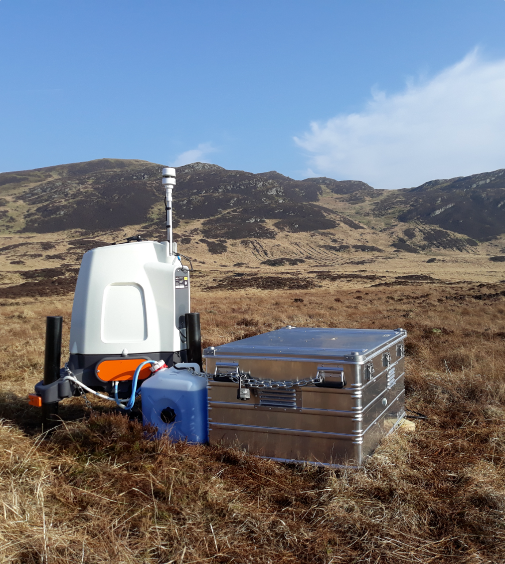
Leading wind lidar provider, ZephIR Lidar, has released the single most comprehensive set of results across the industry to date totalling some 79 separate, non-concurrent validations. All ZephIR 300s were validated against an IEC compliant 91m met mast, at the UKs Lidar & Sodar Test Site (UK-LSTS).
The purpose of the validations is to verify that the product design, engineering and manufacturing delivers a consistently quality product allowing ZephIR Lidars Quality Assurance process to confirm the required corresponding met mast measurements over a range of heights above ground level.

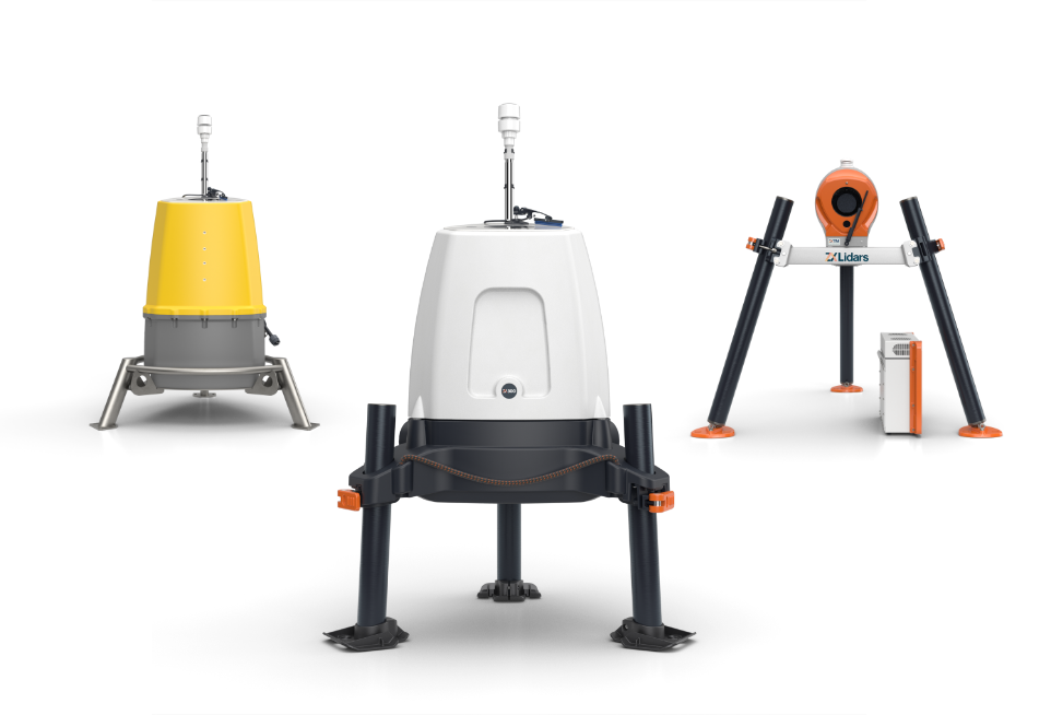
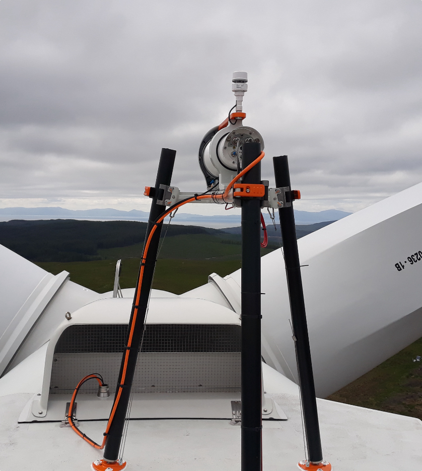
Figure 1: The UK’s Lidar & Sodar Test Site (UK-LSTS) with a number of ZephIR 300 units on trial
The 79 ZephIR 300s all successfully passed the set of performance verification criteria devised in collaboration with GL Garrad Hassan requiring the gradient of the regression line forced through the origin of the 10-min averaged horizontal wind speeds to be within ±2% of the ideal value of unity. In addition, the coefficient of determination, R-sq, a measure of the scatter of the data for which the value 1.00 indicates perfect correlation, is required to be greater than 0.97, at all four matching measurement heights (91m, 70m, 45m and 20m).
More importantly, a statistical analysis of the combined results showed the forced-fit gradients across all 79 trials had a standard deviation of less than 1%. In more than 64% of the ZephIR 300 trials, the gradient was actually within ±0.5% from the mast results, providing strong evidence of the consistency of ZephIR 300 performance (Figure 2).

Figure 2: Results from 79 trials of ZephIR 300 wind lidars
The results were formally presented on 19th March 2013 to a community of wind resource experts at Windpower Monthlys Wind Resource Assessment conference by ZephIR Senior Data Analyst, Edward Burin des Roziers.
On the announcement, Ian Locker, Managing Director at Zephir Ltd. commented: To our knowledge, we are the only remote sensing organisation that strictly follows guidance from Banks Engineers whereby each and every ZephIR 300 has a performance validation trial against a tall met mast as a matter of course. This confirms that our factory Quality Assurance process is delivering the necessary performance the industry demands. For traceable, bankable wind data from a wind lidar, our customers demand a comparison to a traditional IEC compliant met mast to a set of agreed criteria. The UK Lidar & Sodar Test Site allows us to deliver this, and the results from this batch of 79 trials of ZephIR 300 prove we are producing repeatable, high quality wind lidar systems for the wind energy industry.
Notes for Editors
About Zephir Ltd.
Celebrating 10 years of wind lidar excellence
In 2003 we released the first commercial wind lidar, ZephIR®, exploiting decades of research at UK government Research & Development establishment QinetiQ. Designed specifically for the wind industry ZephIR has paved the way for many of the remote sensing devices seen in the market today. Our original lidar technology continues to innovate with world firsts such as taking measurements from a wind turbine spinner and being the first to deploy an offshore wind lidar, both fixed and floating. ZephIR has also now amassed more than 3.5 million hours of operation across 650+ deployments globally spanning a decade of commercial experience. For wind measurements onshore, offshore and in turbine-mounted applications, ZephIR provides accurate, reliable finance-grade wind data.
Zephir Ltd. is a wholly owned subsidiary of Fred. Olsen Ltd. – established in the UK in 1963 with business interests primarily focussed on renewable energy, including ZephIR.
Visit the ZX Lidars website for more information.