A report documenting a sample of more than 170 performance verifications of ZephIR 300 against the IEC-compliant UK Remote Sensing Test Site (Pershore, UK) has been released demonstrating the robust, stable and repeatable factory calibration process of the continuous wave lidar, ZephIR 300. It is believed to be the largest single-type batch of remote sensing verifications ever released to date by any company.
Calibration of ZephIR 300 is performed at the ZephIR Lidar production facility in the West Midlands, UK. The documented process ensures that the overall velocity calibration uncertainty is <0.5%. The IEC cup classification class index[1] allows for ±1% deviations for Class 1 cup anemometers. However, double calibration of the same cups in two MEASNET wind tunnels[2] have themselves shown differences in calibration results of order 1%.
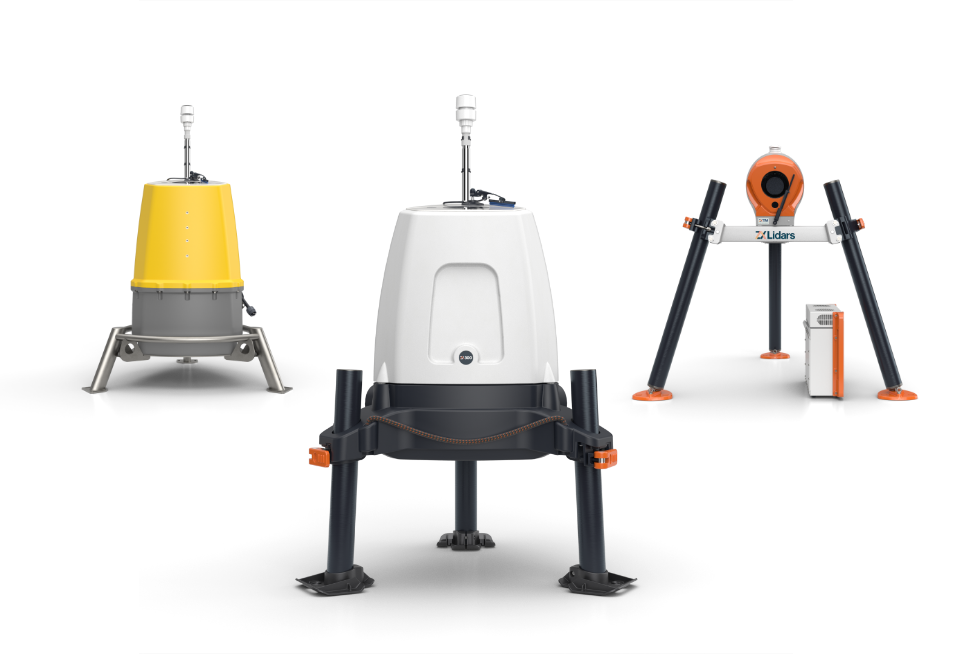
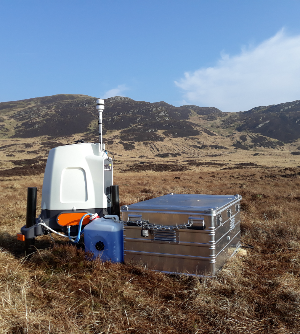
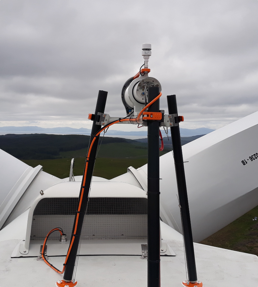
ZephIR lidars are then verified against a 91.5m mast at the UKs Remote Sensing Test Site. Unlike many other remote sensing devices, following factory calibration no performance tuning is required for ZephIR. The long-term stability of this calibration has recently been demonstrated following a 40 month unbroken deployment where the pre- and post-verification identified no change in accuracy.
Performance verifications are then carried out at the UK Remote Sensing Test Site, approved for use by bankable wind engineering companies DNV GL and Natural Power. Verifications are conducted using ground-based remote sensing units, operating in their standard mode with the measurement points aligned vertically, at 4 heights: 91.5m, 70.5m, 45.5m and 20.5m. The units are located between 3m and 8m from the base of the mast following Best Practice guidelines on the siting of remote sensing devices against met masts. The verification process is based on 10-minute average values obtained over at least 7 days and a successful verification requires that the regression slope at all 4 heights lies within ±2% of unity, with a coefficient of determination R2 greater than 0.970. This requirement ensures that each remote sensing unit would give effectively the same overall result as an IEC-compliant mast in a campaign for assessment of the wind resource.
From the report, the results from a sample of more than 170 verifications of ZephIR 300 concluded that all achieved the required performance, well within the IEC criteria for wind measurement equipment for use in finance-grade energy assessments.
A full copy of the technical paper relating to the batch performance verifications is available here: https://www.zxlidars.com/media/publications/
Ian Locker, Managing Director of ZephIR Lidar commented on the report: When we developed ZephIR lidar technology some 10 years ago, it was because of the very simple, robust nature of the continuous wave design we always knew the theoretical limit of total uncertainty was less than 0.5%. Today, we have the real-world evidence based on a sample of some 170+ performance verifications to support that whats more its the first time any company has produced such concrete evidence for a single type of remote sensing device. For our clients, it gives the confidence that each and every ZephIR provides the same, finance-grade data, as theoretically it should, but there is now the clear audit trail that its the same 170 times over from just a sample of verifications. And well continue to add to that!
[1] IEC 61400-12-1: Power Performance Measurements of Electricity Producing Wind Turbines
[2] Rutherford, A., Harris, M., Barker, W., Burin des Roziers, E., Pitter, M., Scullion, R., Slinger, C., Lidar calibration and performance validation process, AWEA 2012
ENDS
Notes for Editors
About Zephir Ltd.
Celebrating 10 years of wind lidar excellence
In 2003 we released the first commercial wind lidar, ZephIR®, exploiting decades of research at UK government Research & Development establishment QinetiQ. Designed specifically for the wind industry ZephIR has paved the way for many of the remote sensing devices seen in the market today. Our original lidar technology continues to innovate with world firsts such as taking measurements from a wind turbine spinner and being the first to deploy an offshore wind lidar, both fixed and floating. ZephIR has also now amassed more than 7 million hours of operation across 750+ deployments globally spanning a decade of commercial experience. For wind measurements onshore, offshore and in turbine-mounted applications, ZephIR provides accurate and reliable finance-grade wind data.
Zephir Ltd. is a wholly owned subsidiary of Fred. Olsen Ltd. – established in the UK in 1963 with business interests primarily focussed on renewable energy, including ZephIR.
Visit www.zxlidars.com for more information.