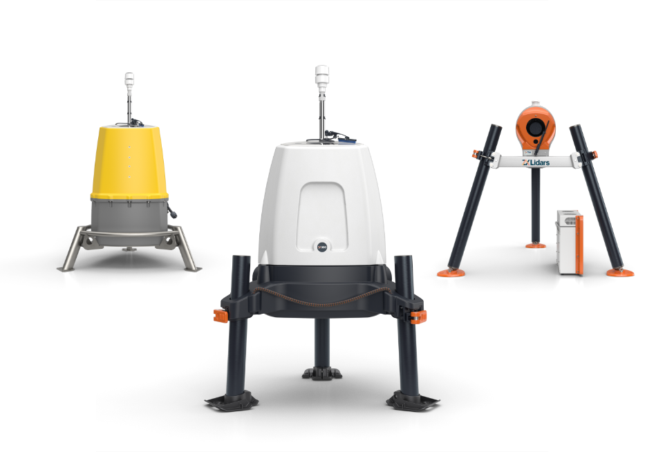
DNV GL has been widely acknowledged as the technical authority on wind energy for nearly three decades. The company has applied this authority to the emerging field of remote sensing, specifically its use in the context of the development and financing of wind farm projects. Their analysis notes that cup anemometers have been the industry standard for measuring wind speed at wind farm sites and therefore they must be considered the norm against which any alternative measurement device must be judged.
DNV GL proposes a clear and auditable staging process for remote sensing devices which cover both lidars and sodars:
- Stage 1 & Milestone 1: Limited validation of a commercial device moving to some successful testing against conventional met masts over a range of heights (50m 120m), achieving a similar level of accuracy in measurement. Results should be published in suitable technical papers.
- Stage 2 & Milestone 2: Increasing range of site measurements made under a range of meteorological conditions, moving to formal wind speed and energy assessments being provided based in part on data from the device, but only with site-specific validations against conventional anemometry.
- Stage 3: A device is considered proven for use in the assessment of wind farm sites. The data may be used quantitatively within formal wind speed and energy assessments with only limited or no site-specific validations against conventional anemometry.
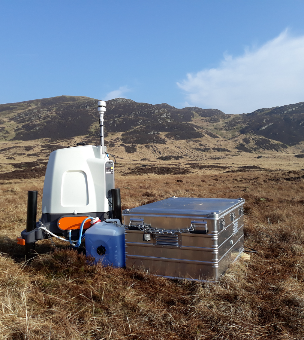
DNV GL considers ZephIR 300 to be at Stage 3 under benign conditions – accepted for use in bankable / finance-grade wind speed and energy assessments with either no or limited on-site met mast comparisons.
In October 2012 ZephIR was the first commercial wind lidar system to achieve accreditation at this level.