New nacelle Lidar test site fully operational
An independent performance verification of a nacelle-mounted ZephIR Lidar has been undertaken by DNV GL on the test site in Janneby, Germany which demonstrates the product is compliant with best-practice guidelines developed in the EUDP UniTTe programmes – widely regarded and accepted as industry benchmarks for installations of turbine-mounted Remote Sensing Devices (RSDs).
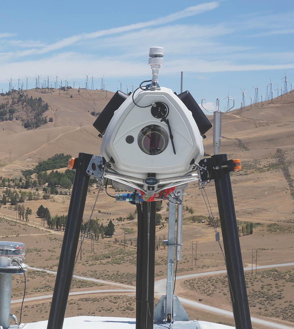
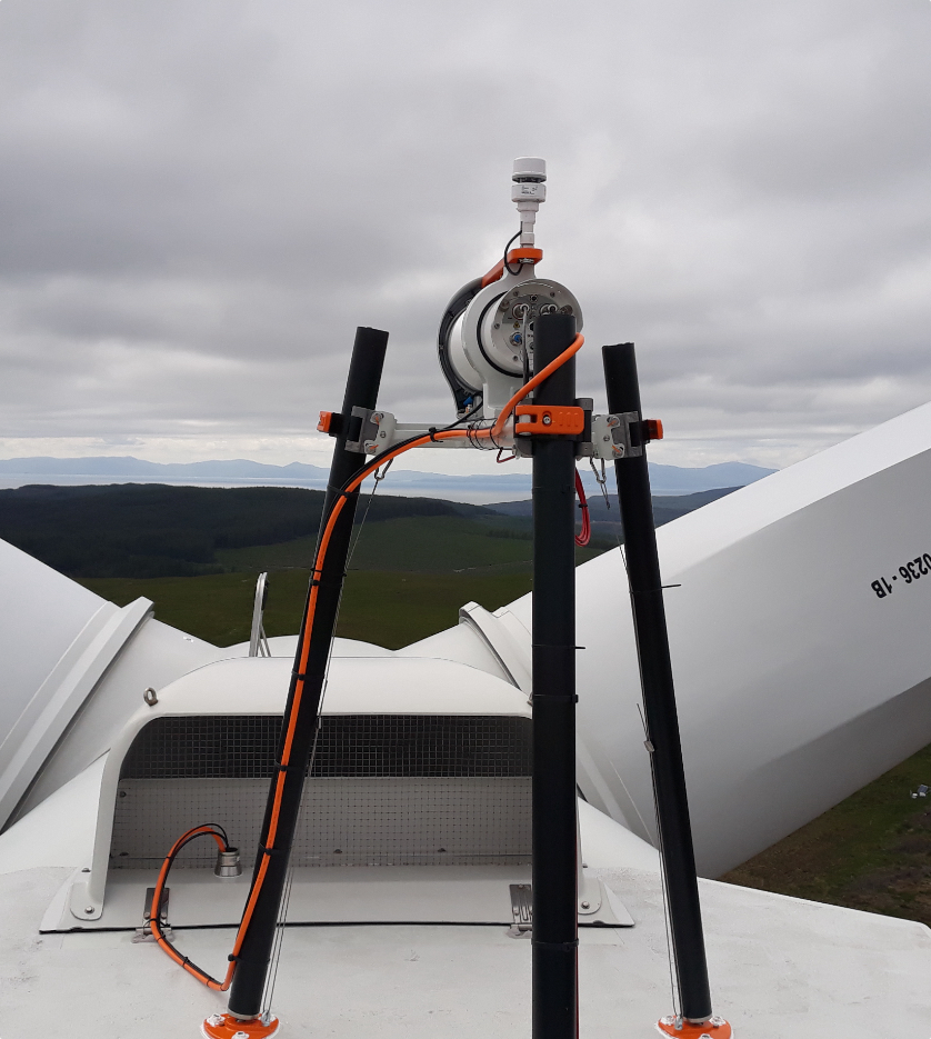
In the verification, the ZephIR DM nacelle-mounted lidar was mounted horizontally on a raised platform (FW-MM) – 180m away from two reference met masts (T-MM-N and T-MM-S) equipped with calibrated anemometers at DNV GL’s test site, located 20 km southwest of Flensburg, Germany.

A series of tests and subsequent analysis was undertaken by DNV GL on the performance of the ZephIR DM with respect to:
- Verification of inclinometers. ZephIR DM uses highly sensitive positional sensors to account for turbine sway and nod to ensure a true Hub Height measurement is reported at several rotor diameters in front of the turbine within +/- 1% of Hub Height.
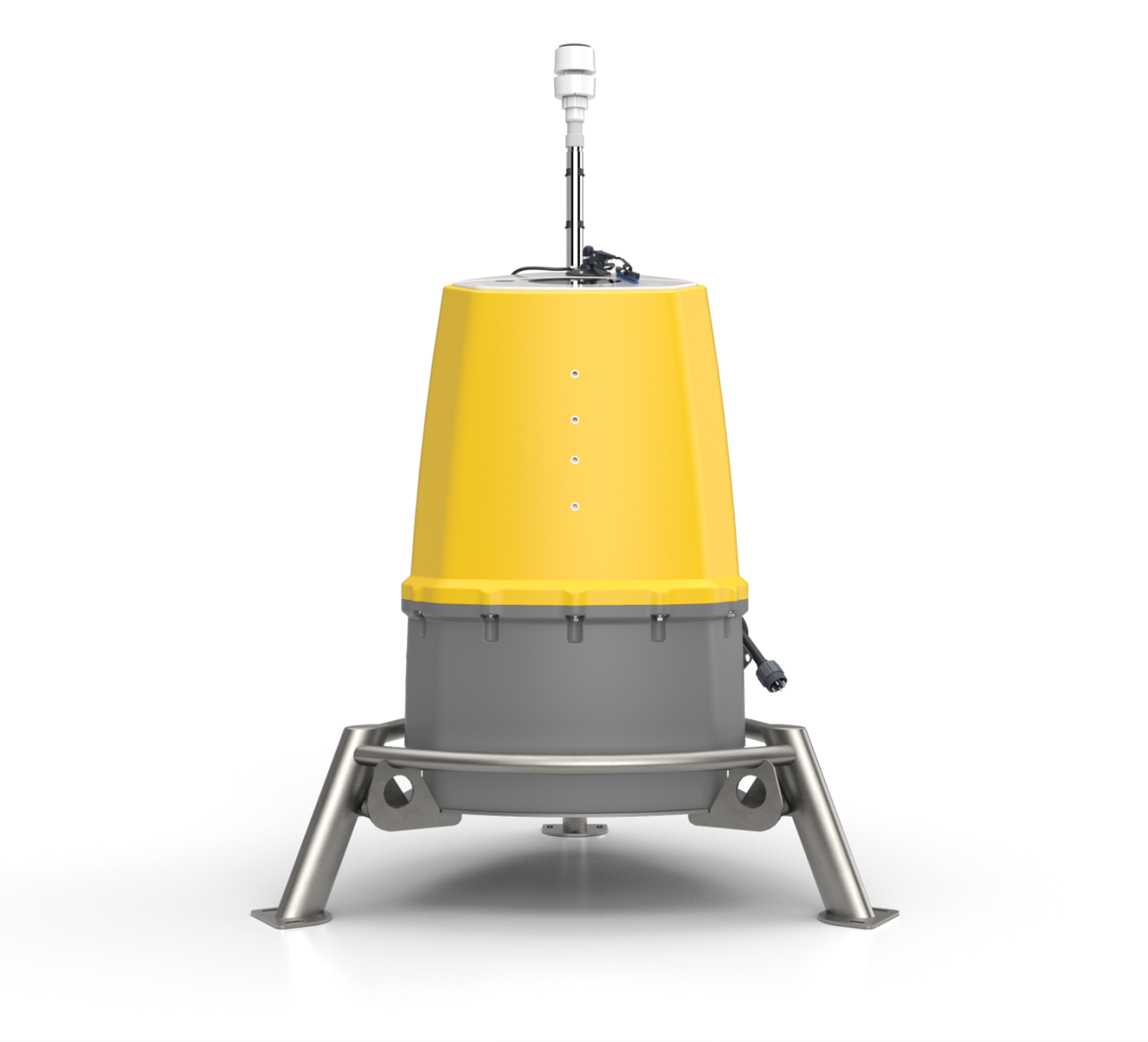
- ZephIR DM achieved a 100% availability of both system and data during the performance verification. A Continuous Wave lidar, all power from the system’s laser is focused at each measurement range, which helps to ensure the highest levels of sensitivity and therefore data availability, in all environmental conditions.
- Wind speed comparison. White box test results are shown below where a correlation gradient of 1.00026 was achieved, i.e. a 0.026% difference between the lidar line-of-sight and mast wind speeds were observed:


ZephIR Lidar’s nacelle-based wind profiler, ZephIR DM, has been demonstrated to measure wind speed when mounted on a wind turbine at a very accurate level. Additionally, the ZephIR DM offers the advantage of being mobile and scanning at up to several hundred metres ahead of the rotor in free stream wind flow for a power curve measurement.
Further, the individual unit used in this test will operate as a Gold Standard Nacelle-Lidar suitable for further tests, validations and performance verifications at the UK Remote Sensing Test Site where a range of remote sensing devices undergo independent performance verification – for example a sample of 250 ground-based ZephIR 300 Performance Verifications have been published openly and available at www.zxlidars.com.
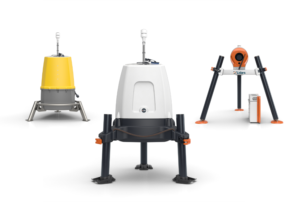
Applications for nacelle-mounted Lidar include:
- Power Curve Measurements,
- Turbine trouble-shooting including yaw alignment studies and Nacelle Transfer Function optimization – see opposite, ZephIR DM deployed on Lincs Wind Farm with Centrica Energy
- Turbine End of Warranty Inspections